Flight Data Viewer
As part of the construction of a rocket with the club SpaceCampus of the University of Bordeaux, I decided to design and develop a software that traces the trajectory of the rocket thanks to the data acquired during the flight.
The data was extracted from different sensors:
- a magnetometer (which is used as a compass)
- an accelerometer
- a gyroscope
The purpose of this software is to present this data in the form of a 3D animation and charts that evolve during the flight.
It is of course the 3D part which is the most difficult. To carry out this task, I developed a Java 3D engine using LWJGL. The end goal of the 3D part of the software is to animate the flight of the rocket in a space that is faithful to the launch location. That is to say, a space that recreates the topography and the real texture of the ground.
Also, the software is reusable; it can be used again with data from the next two club launches that will take place in 2020. It will then be enough to just import into the software a 3D model of the new rocket, the new flight data and the coordinates of the launch pad.
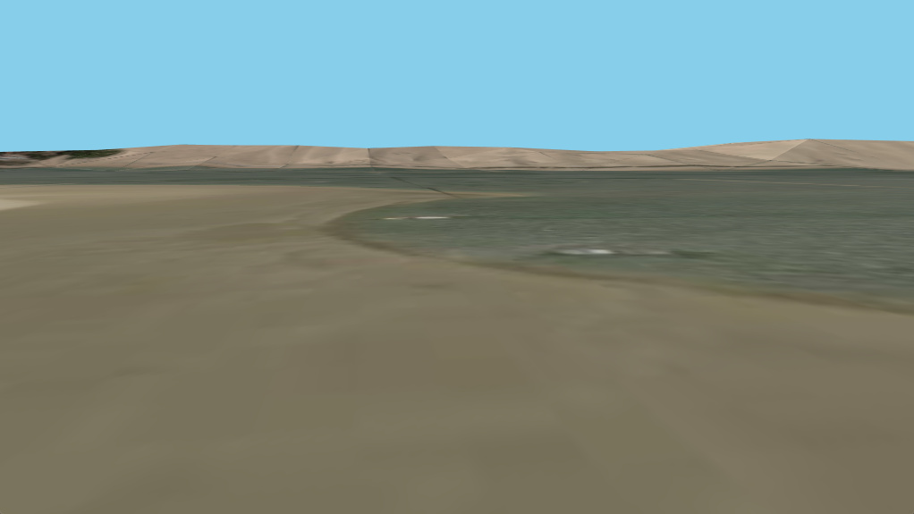
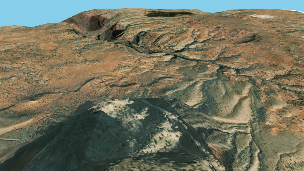
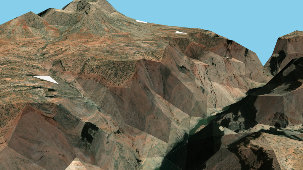
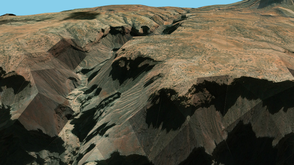
Being alone on this project, it requires a lot of work and is far from finished. However, the generation of the topography and the terrain textures is already implemented, which makes it possible to use the software as a kind of Google Earth.
Before leaving you with some screenshots, I want to tell you that the project is still in development, which explains the low viewing distance, the very flat shadows accentuating the edges, etc...
Here is the Grand Canyon:
...and here is the Dune of Pilat :